Month: October 2019
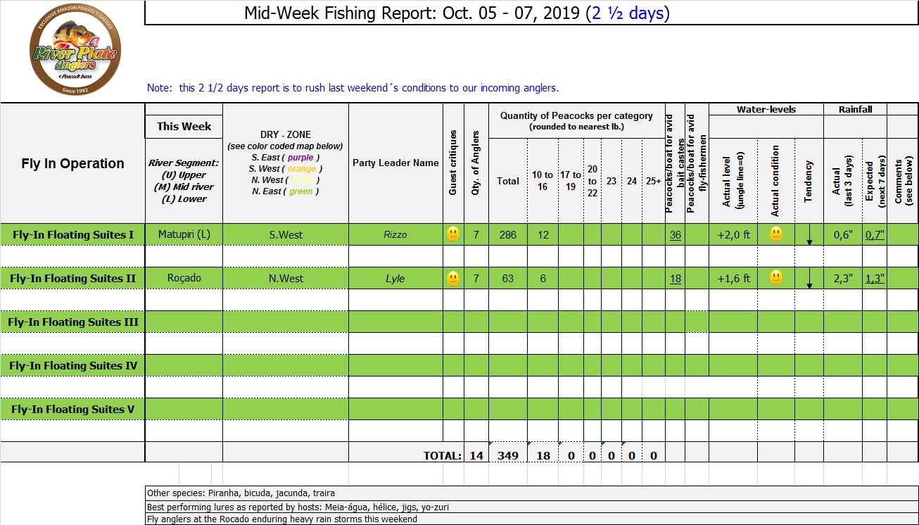
Mid-Week Fishing Report: Oct. 05 – 07, 2019 (2 ½ days)
Week end´s tally (2 ½ days):
Note: this 2 1/2 days report is to rush last weekend’s conditions to our incoming anglers.
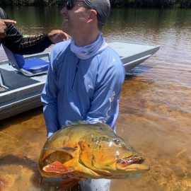
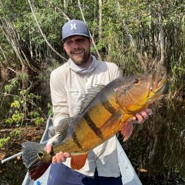
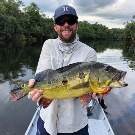
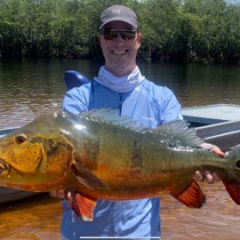
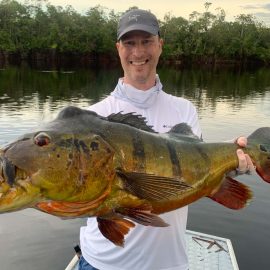
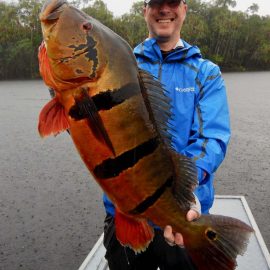
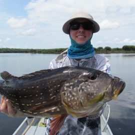
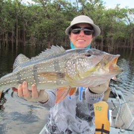
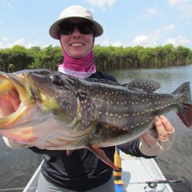
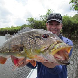
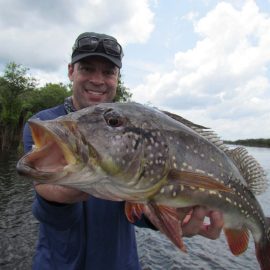
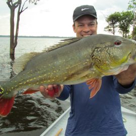
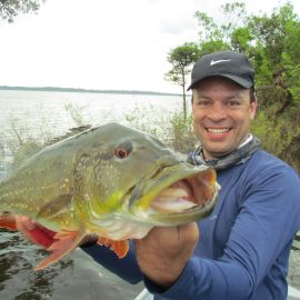
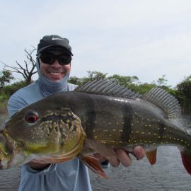
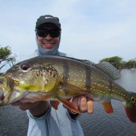
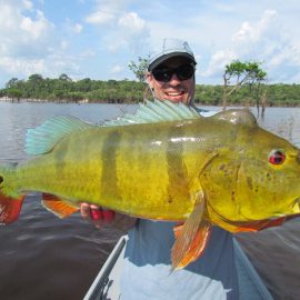
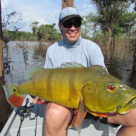
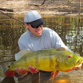
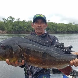
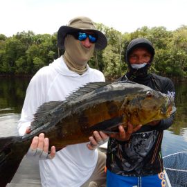
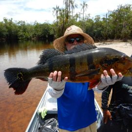
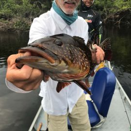
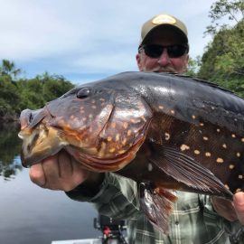
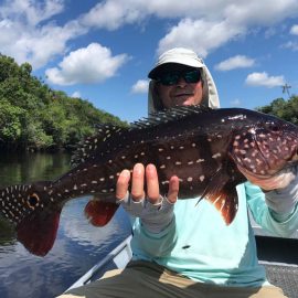
Matupiri fishery in Dry-Zone S. West -: Last Saturday we received the Rizzo group of 7 anglers in our Floating cabins fishing the mid Matupiri. They endured some rain episodes but had a good start with 286 landed peacock bass, but with no trophies. They will have to brave some further rain episodes on Wednesday (see Borba forecast below). Water levels are still a bit high and stabilized but the most important factor is the sun warmth impact on water temperature directly related to fish activity, which should normalize by Thursday. Last week the Franceschini anglers landed a 21 pounder and a 19 pounder within a nice mixed tally. Roçado fishery in Dry-Zone N. West -: Anglers have also been enduring some heavy rain episodes that have stabilized the dropping tendency of this fishery, nonetheless last week´s group have landed several trophies, in their own words: " Just returned from the Roçado river in Brazil with my brother Elliot Weston. We caught some lunkers (largest was 21lbs), and saw larger ones waking in the lagoons and swimming along the sandbars. It wouldn´t surprise me if this river produced a 30lber, but you won´t land as many smaller fish. We caught two of the largest ones with jigs, but the rest on woodchoppers. The 21lber hit in the f1st hour on 1st day on a pink woodchopper (also used to catch my26lber last year). An 18lb hit the jig at a river point, and was the toughest peacock I have caught to date - then another hit the jig at the side of the boat which is always exciting. What was interesting, was the color variety of the large fish - even though they are in the same river with each other." Art Weston Last Saturday we received the Lyle group of 7 at the Roçado with several fly fishing anglers in the group that have had their yields severely affected by the significant rain storms, and the lack of sun. Water levels have stabilized and are expected to resume their dropping tendency once the storms passes (pls. see Japura forecast below). Note: this fishery is under the strict single hook sportmanship policy.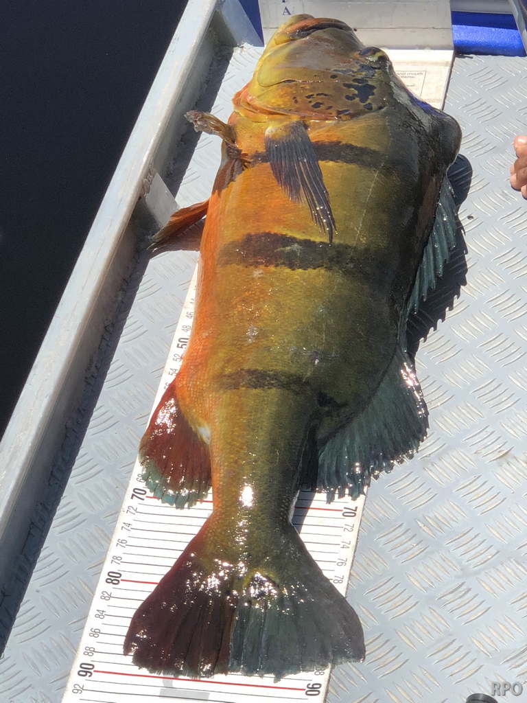
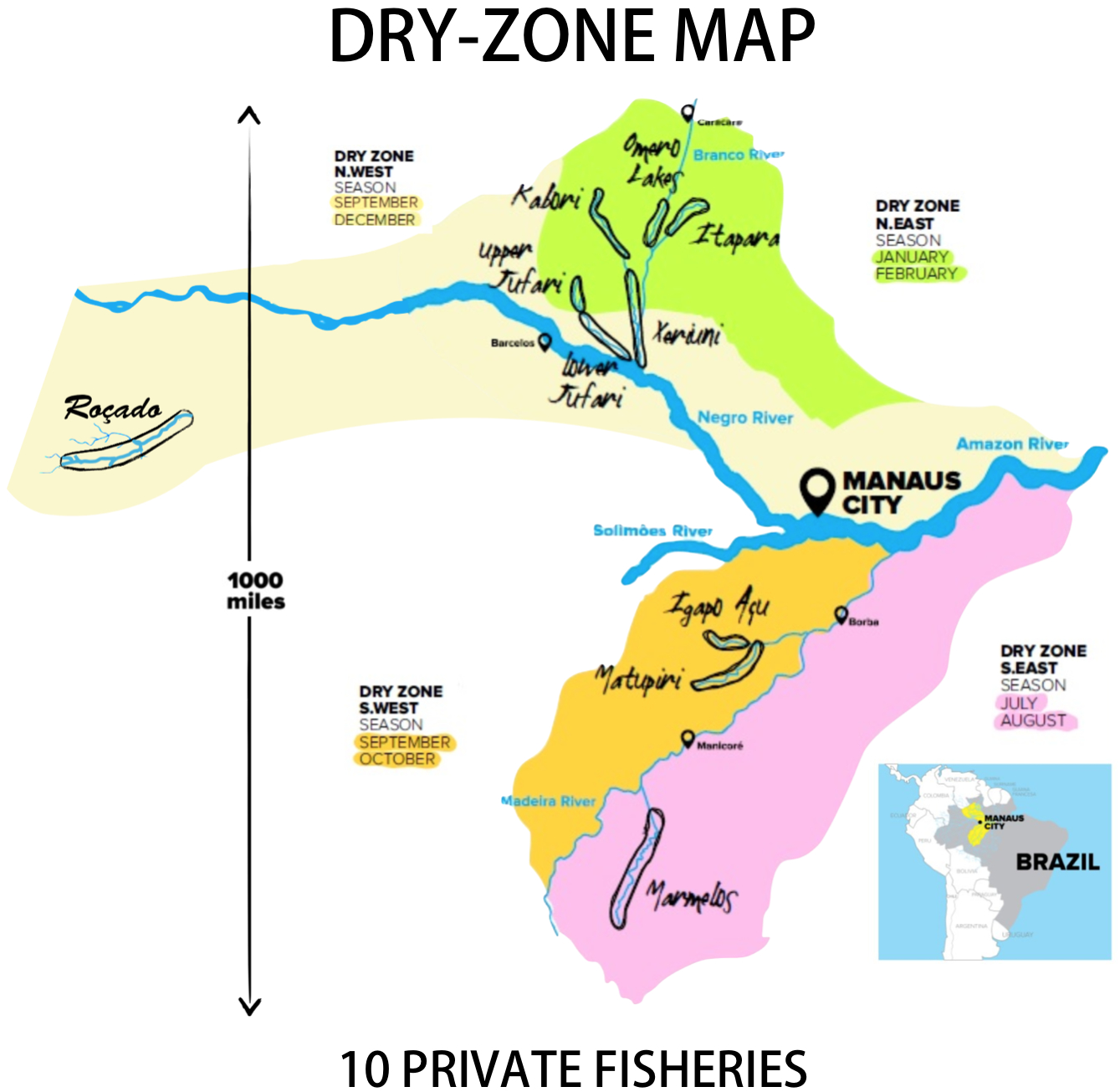
Today´s Average Water Levels:
in Dry-Zone S. and N. West
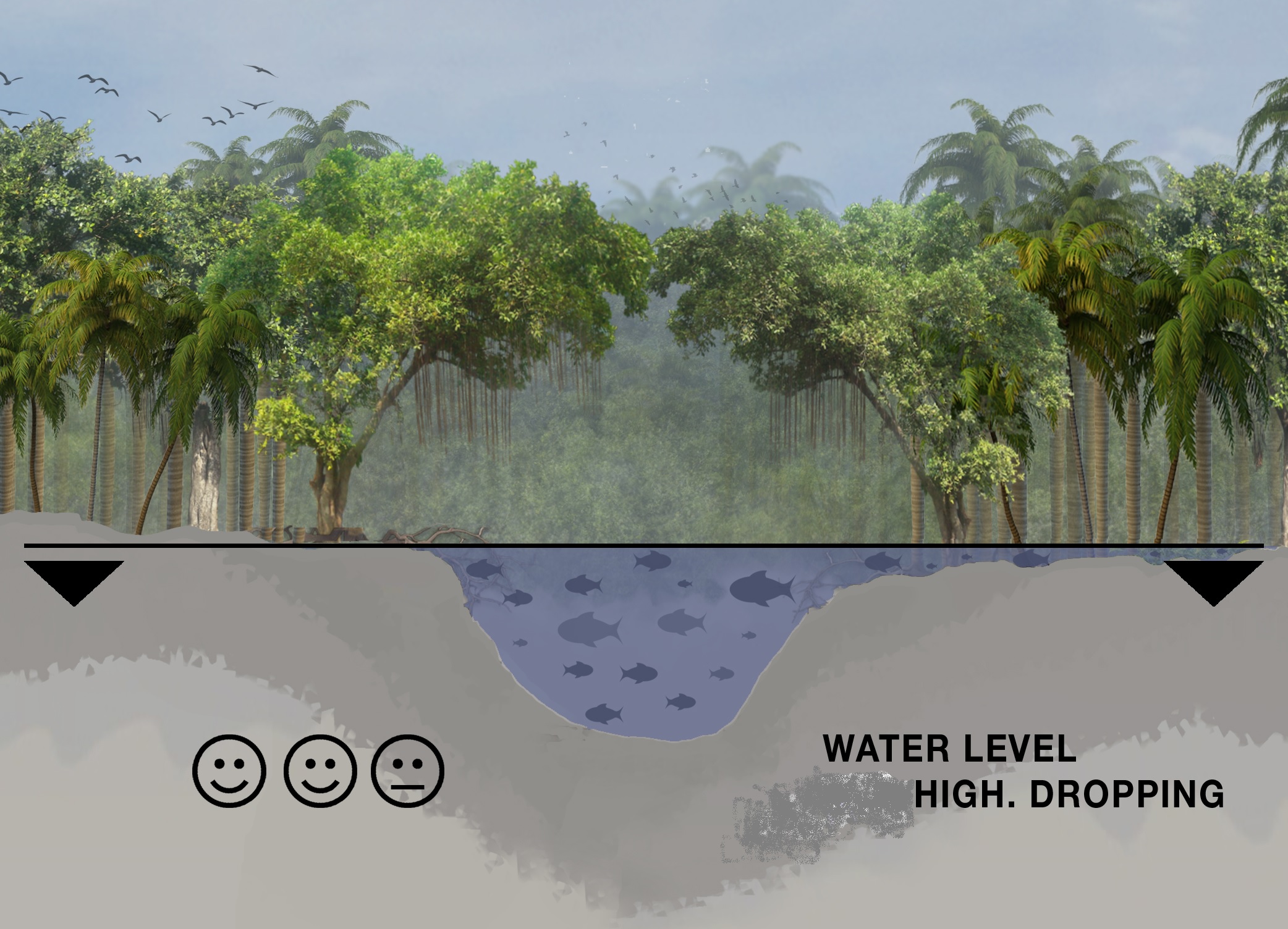 Matupiri river in Dry-Zone S.West and Roçado private fishery in Dry-Zone N.West
Guess work
Water levels keep dropping slowly in our fisheries in the Dry-Zone S.West. The Matupiri river has stabilized and is still a bit high, it is expected regain the dropping tendency after the rain episodes of this week. Considering the weather forecast fishing conditions are expected to remain good and improve in the coming days. Water levels in Dry-Zone N.West at our Roçado private fishery are a bit high and have stabilized, several heavy rain episodes in the last days and forecasts imply that they will have little sunshine and water temperature will not rise until the sun shines again, expected for next Friday, this has a direct link with the fish activity and willingness to take the lures.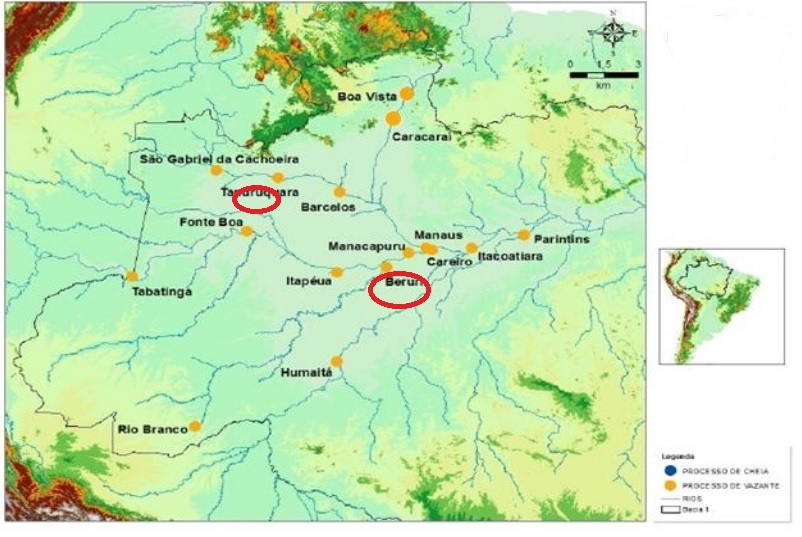
Blue dots represent water level monitoring stations where levels are rising and yellow dots where levels are dropping. Our areas of interest are marked with red circles.
——————————————————————————————————————————————————————————————————————————————————————
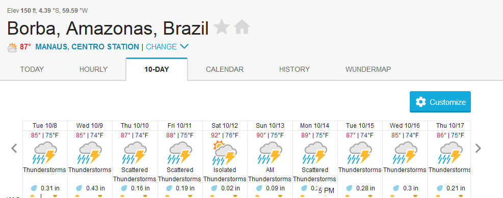
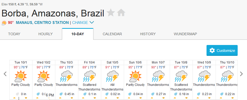
Above the rainfall forecast for Borba in the area of influence of the Matupiri river showing some rain significant rain episodes for the next few days.
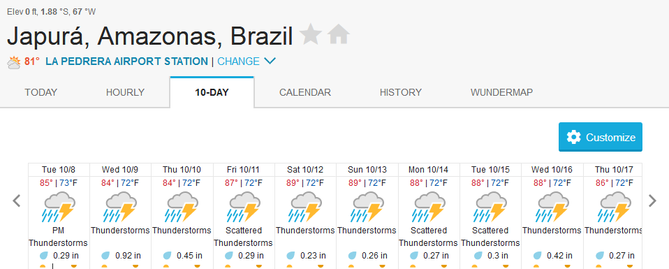
Above the rainfall forecast for Japura in the area of influence of our Roçado private fishery showing some heavy rain episodes to be expected in the coming days.
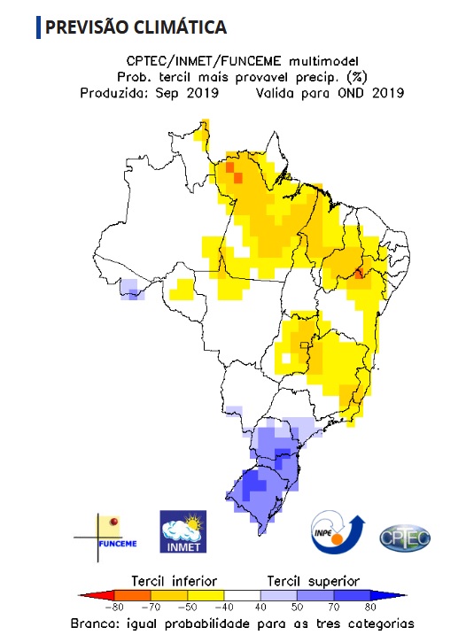
Find below the quarterly rainfall for Oct, Nov, Dec showing that we should expect normal rainfall in the area of our private fisheries (white).

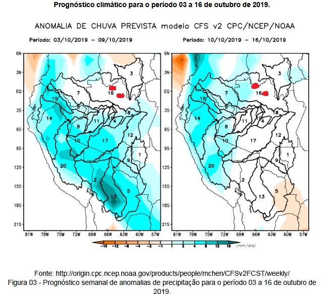
Find below the expected anomalies in the rainfall forecast for the coming fortnight, our fisheries are marked in red and are located in the white (normal) area.

Water level measurements at the Humaitá station continue to be within the historical parameters as the Itacoatiara station (see below). The Matupiri river is located between both stations. Please see red circle in stations map above.
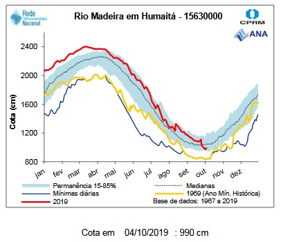
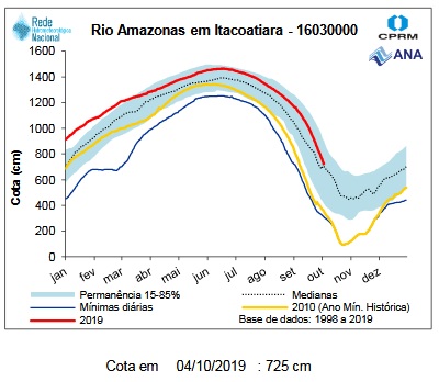 Note: red line are 2019 water levels, the light blue strip is the 15 to 85% probability, the dotted line is the median and the yellow line is the historic minimum

 Note: red line are 2019 water levels, the light blue strip is the 15 to 85% probability, the dotted line is the median and the yellow line is the historic minimum
Water level measurements at the Tapurucuara station (see below) continue to be within the historical parameters as the Tapurucuara station (see below). The Roçado fishery drains directly at this station thus, lower water levels imply that drain tendency should continue after the rain episodes. Please see red circle in stations map above.
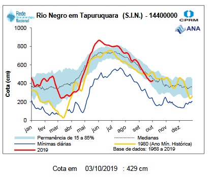 Note: red line are 2019 water levels, the light blue strip is the 15 to 85% probability, the dotted line is the median and the yellow line is the historic minimum
 Note: red line are 2019 water levels, the light blue strip is the 15 to 85% probability, the dotted line is the median and the yellow line is the historic minimum
Gallery
Mid-Week Fishing Report: Sept 28 – 30, 2019 (2 ½ days)
Week end´s tally (2 ½ days):
Note: this 2 1/2 days report is to rush last weekend’s conditions to our incoming anglers.
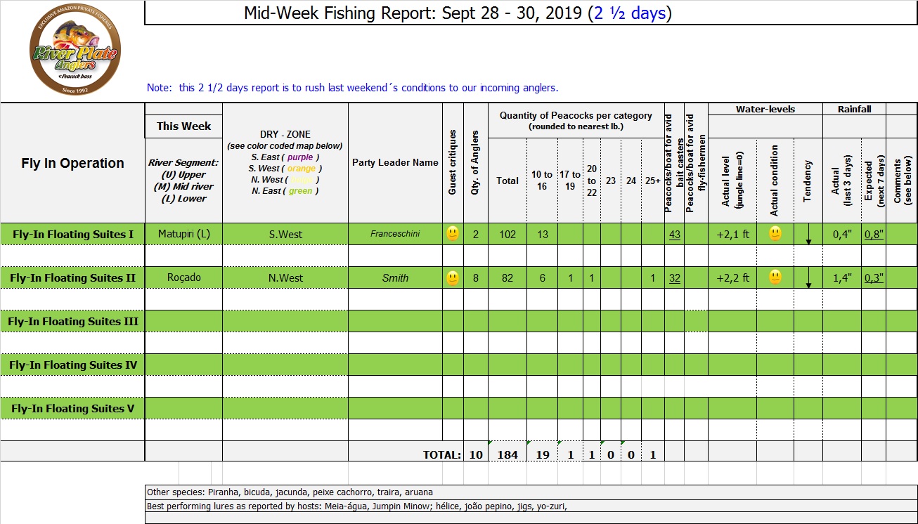
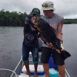
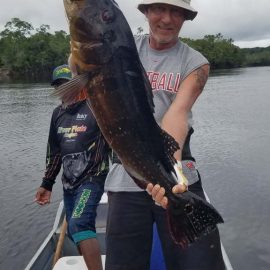
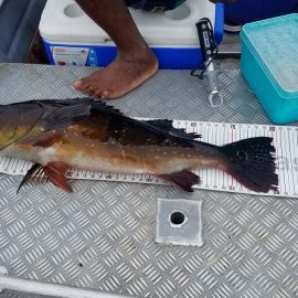
Matupiri fishery in Dry-Zone S. West -: Last Saturday we received the Franceschini exclusive group of 2 anglers in our Floating cabins fishing the mid Matupiri. Their basket mainly consisted of 102 medium sized peacock bass, sighting several schools of fish predated by abundant botos (pink dolphins). Although visually enjoyable, it had a negative impact on their fishing yields. They enjoyed good weather conditions with no significant rain episodes, water levels continue to be a bit high but very fishable. Water levels are expected to keep the dropping tendency and some significant rain episodes are expected towards the weekend. Last week the Babek group of 4 anglers ended the week with an outstanding 1645 landed peacock bass. Roçado fishery in Dry-Zone N. West -: Last Saturday we received the Smith group of 8 at the Roçado private fishery in Dry-Zone N.West, in the 2 1/2 days of this report they already have landed an outstanding 26lbs trophy plus a 21 pounder, and a 19 pounder, although they endured some heavy rain episodes, rainfall forecast shows that conditions will improve for the rest of the week (see forecast below). Last week´s largest trophy weighed 21lbs. Note: this fishery is under the strict single hook sportmanship policy.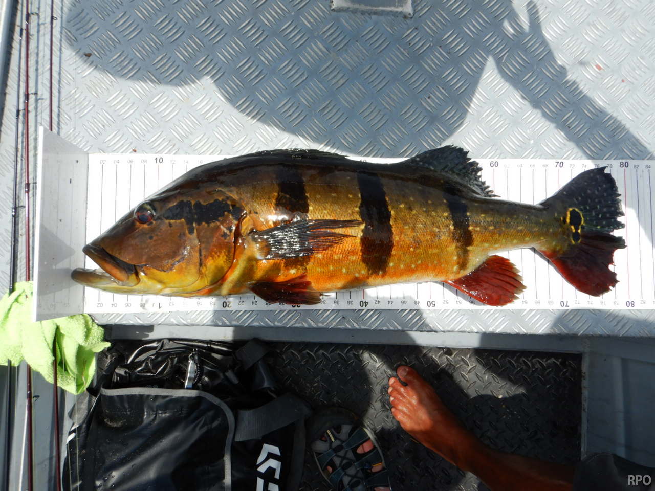

Today´s Average Water Levels:
in Dry-Zone S. and N. West
 Matupiri river in Dry-Zone S.West and Roçado private fishery in Dry-Zone N.West
Guess work
Water levels are dropping in our fisheries in the Dry-Zone S.West. The Matupiri river is still a bit high and are expected to drop in the coming days presenting good fishing conditions. Considering the weather forecast fishing conditions are expected to remain good in the coming days. Water levels in Dry-Zone N.West at our Roçado private fishery are a bit high and dropping at a good rate.
Blue dots represent water level monitoring stations where levels are rising and yellow dots where levels are dropping. Our areas of interest are marked with red circles.
——————————————————————————————————————————————————————————————————————————————————————
Above the rainfall forecast for Borba in the area of influence of the Matupiri river confirming that the dropping tendency continues in the coming days.
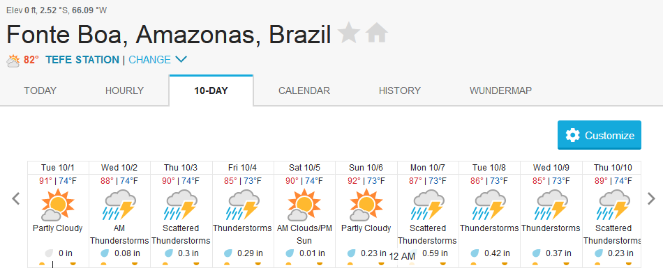
Above the rainfall forecast for Fonte Boa in the area of influence of our Roçado private fishery confirming that the dropping tendency continues in the coming days.
Find below the quarterly rainfall for Oct, Nov, Dec showing that we should expect normal rainfall in the area of our private fisheries (white).


Water level measurements at the Humaitá station continue to be within the historical parameters as the Itacoatiara station (see below). The Matupiri river is located between both stations. Please see red circle in stations map above.
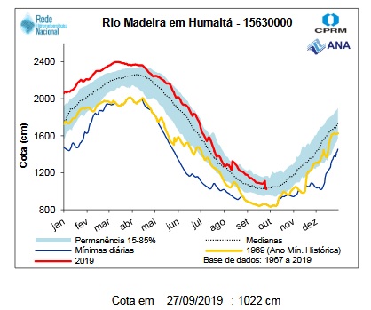
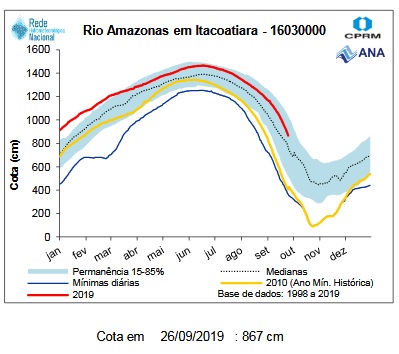 Note: red line are 2019 water levels, the light blue strip is the 15 to 85% probability, the dotted line is the median and the yellow line is the historic minimum.

 Note: red line are 2019 water levels, the light blue strip is the 15 to 85% probability, the dotted line is the median and the yellow line is the historic minimum.
Water level measurements at theFonte Boa station continue to be within the historical parameters as the Tapurucuara station (see below). The Roçado fishery is located between both stations. Please see red circle in stations map above.
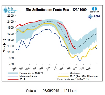
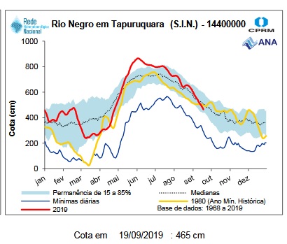 Note: red line are 2019 water levels, the light blue strip is the 15 to 85% probability, the dotted line is the median and the yellow line is the historic minimum

 Note: red line are 2019 water levels, the light blue strip is the 15 to 85% probability, the dotted line is the median and the yellow line is the historic minimum
