MID-WEEK FISHING REPORT: AUGUST 12 – 14 (2 ½ DAYS)
(This is a partial report for the benefit of the next incoming groups)
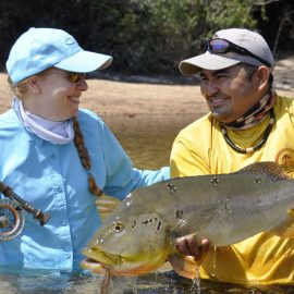
TWO TWENTY POUNDERS LANDED LAST WEEK AT THE MARMELOS
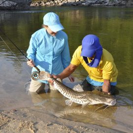
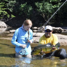
Yet again, last week’s anglers landed more than 50 peacock bass over the 10 lbs. mark, the largest of which almost reached the 21 lbs. mark. Average daily catch per angler was over 45 landed peacock bass plus an assortment of trairas, piranhas, jacunda, surubim, bicudas, etc.
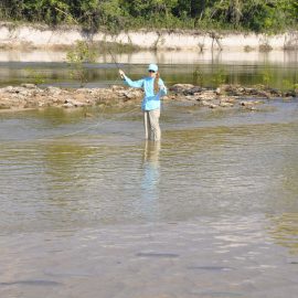
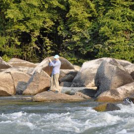
This week´s group is already beyond the 90 landed peacock bass per angler mark in just 2 ½ days. Fishing conditions are perfect (see below) in this fantastic private fishery that offers different scenarios, clear waters for sight fishing, mild rapids with boulders, etc. (see gallery below). Reported working lures this weekend are perversa, jumping minnow, and mid-warer lures.
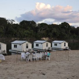
The Floating Suites are positioned in Dry-Zone S.East with perfect weather conditions for the rest of the week (see below forecast for Manicoré).

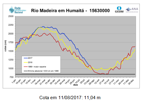
Dry – zone S. East RIVERS: MARMELOS (see map at the top). Open for peacock bass fishing. Water levels are stable (see diagrams below). The Madeira basin continues to drain which will impact on this fishery in the coming weeks. We are continuously monitoring levels to determine when to move to Dry Zone S.West. Weather forecast simply perfect for the rest of the week. Fishing conditions for peacock bass continue to be ideal.
Marmelo´s graphic water levels are as follows:


Weather forecast for Manicoré
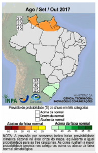
CPTEC / INPE Rainfall forecast for this quarter
The above diagram depicts the rainfall probability for three months. The pale orange zone in the North forecasts a probability of about 45% that the rainfall will be below the historical mean. Therefore there will be a chance, that the water cycle develops earlier in the coming months in the North of Manaus (Dry-Zones N.West and N.East).
All other Regions( see map above) have high water levels and are not yet open for this 2017 – 2018 season. This illustrates de importance of mobility within these 4 distinct Dry Zone areas.
All other Regions graphic water levels are as follows:


